
Terreni edificabili in Svizzera – tutti i 26 cantoni
Parzella rileva ogni particella della Svizzera dalla misurazione ufficiale e la collega al catasto RDPP, al registro degli edifici, alla statistica della superficie e ai dati ambientali. Scelga un cantone per i dati chiave su particelle, zone e comuni.

Aargau
299'004 Particelle · 196 comuni
Appenzell Ausserrhoden
27'705 Particelle · 20 comuni
Appenzell Innerrhoden
8'119 Particelle · 5 comuni
Basel-Landschaft
128'963 Particelle · 86 comuni

Basel-Stadt
24'429 Particelle · 3 comuni
Bern
460'374 Particelle · 334 comuni
Freiburg
167'625 Particelle · 119 comuni
Genf
73'161 Particelle · 45 comuni
Glarus
24'748 Particelle · 3 comuni

Graubünden
225'869 Particelle · 100 comuni
Jura
69'929 Particelle · 50 comuni
Luzern
67'322 Particelle · 61 comuni

Neuenburg
58'818 Particelle · 24 comuni

Nidwalden
11'501 Particelle · 11 comuni
Obwalden
16'149 Particelle · 7 comuni
Schaffhausen
46'201 Particelle · 26 comuni
Schwyz
50'148 Particelle · 30 comuni
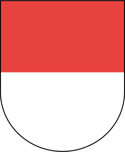
Solothurn
137'562 Particelle · 104 comuni

St. Gallen
194'699 Particelle · 75 comuni
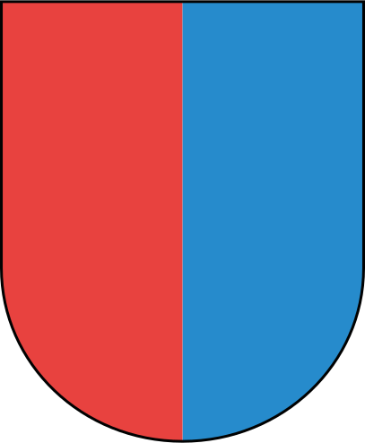
Tessin
257'251 Particelle · 91 comuni
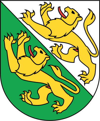
Thurgau
135'929 Particelle · 80 comuni
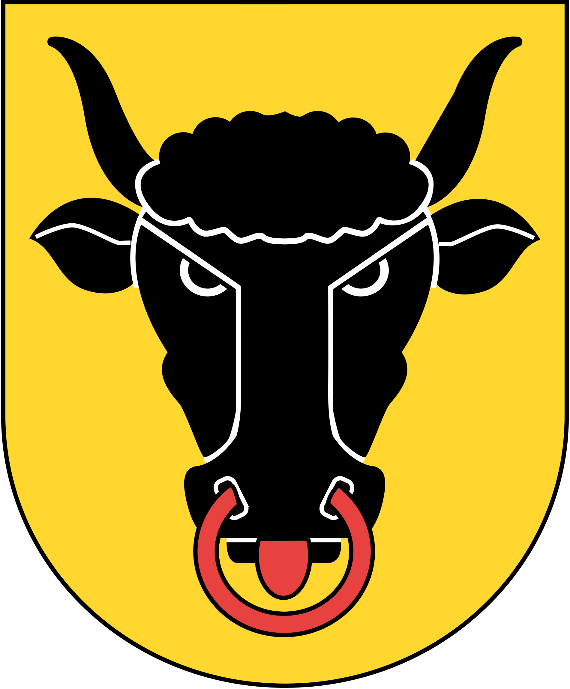
Uri
18'264 Particelle · 19 comuni
Waadt
Dati in preparazione

Wallis
566'091 Particelle · 116 comuni

Zug
24'639 Particelle · 11 comuni
Zürich
391'436 Particelle · 160 comuni
Fonti: misurazione ufficiale (geodienste.ch), catasti RDPP dei cantoni, UST REA e statistica della superficie, UFAM, ARE, swisstopo. Dati aggregati, senza dati personali.